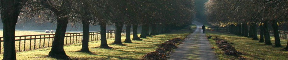
Maybe it was cabin fever or because we had to cancel a three-month France trip this summer, but when our friends Eric and Shelley asked if we would like to visit them during their stay in Jackson Hole, Wyoming, where they were working from “home” (a beautiful old condo actually within the boundaries of Grand Teton National Park), we thought about it for, oh, two or three seconds before saying “YES, INDEED!”
Then we decided to add a ramble around Wyoming to our trip. Fifteen years ago I did a lot of consulting work in Cheyenne and traveled there almost every week for a couple years. I saw much of the state and knew that while Wyoming has miles and miles of nothing but sagebrush, it also has lots of spectacular scenery and an interesting history. Wyoming also has what we call “Geology in Your Face;” some amazing geological events occurred in the state and they are easily seen and appreciated. So away we went.
Our Itinerary
Before I get to the many exciting things we did, here’s our itinerary:
-
- Day 1: Superior, Montana, an overnight stay. We could have maybe possibly driven all the way to Jackson Hole in one day, but 13-14 hours of driving? Nah.
- Day 2: On to Jackson Hole, Wyoming. This is the home of Grand Teton National Park, and where our friends Eric and Shelley are living for a few months. We stayed with them for three nights.
- Day 5: Left Jackson Hole and drove to Buffalo, Wyoming.
- Day 6: Drove to Casper, Wyoming
- Day 7: On to Cheyenne, the capitol of the state. Stayed three nights here.
- Day 10: Back to Jackson Hole for a two night stay
- Day 12: Left Jackson Hole, drove to Ontario, Oregon. Again, we could have driven all the way home, but why?
- Day 13: Arrived back in Seattle
Total trip: 13 days, 3,317 miles, 63 hours of driving time.
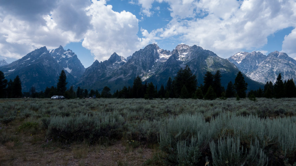
Jackson Hole
Jackson Hole is the home of Grand Teton National Park. To say the Grand Teton mountains are spectacular would be quite the understatement. These things just jut straight up out of a valley.
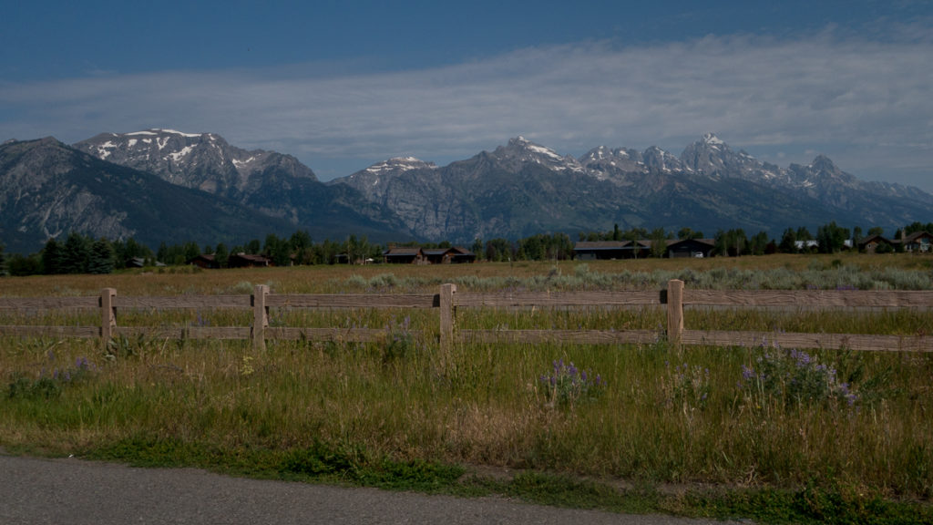
The Grand Tetons, seen from just a few yards from our friends’ condo.
 Yeah, pretty nice, eh?
Grand Teton National Park was first signed into existence by President Calvin Coolidge in 1929. It was a much smaller park, protecting mostly the mountains. But John D. Rockefeller, Jr. and his wife, Abby Aldridge, had visited the area in the late ’20s and wanted to save much more of the valley from development. So he started buying land in the valley and talking to government officials about donating that land to be added to the park.
In 1942, frustrated by federal inaction on accepting his land as a gift and adding it to the park, Rockefeller told the Secretary of the Interior that he might sell the land to commercial interests. That concentrated minds in Washington, D.C. and President Roosevelt soon signed a bill creating a 220,000 acre national monument, administered by the National Park Service.
1950 saw the National Park and National Monument combined into the Grand Teton National Park, with some additional land thrown in. Now the Park is about 480 square miles and includes most of the valley and the mountains and some surrounding areas. John D. Rockefeller, Sr. may have been a robber baron, but his children surely did lots of good with the money he accumulated: Grand Teton National Park is to a large extent, a legacy of John D. Rockefeller, Jr. and his wife.
The Town of Jackson
We’d heard much about the town of Jackson, which is about 15 miles south of the park itself. We drove through Jackson as we arrived and vowed to not return for a closer look. Faux-Western buildings, souvenir shops everywhere, chi-chi restaurants, art galleries etc., the whole place jammed with tourists. It seems that the town of Jackson has one purpose: extract dollars from the wallets of tourists. Not a place for us.
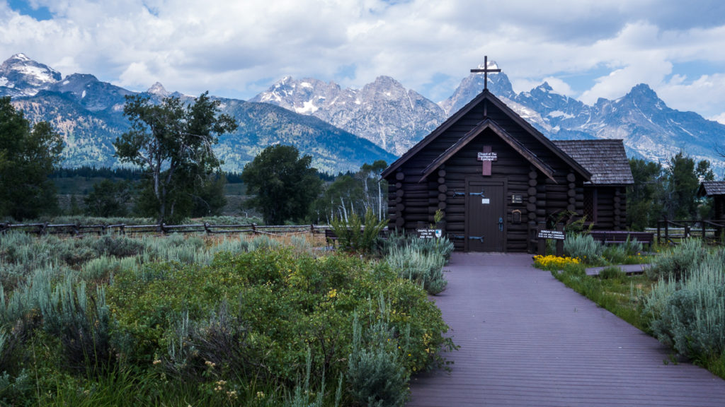
Chapel of the Transfiguration
How’s this for wonderful place to get married? Eric and Shelley tied the knot here!
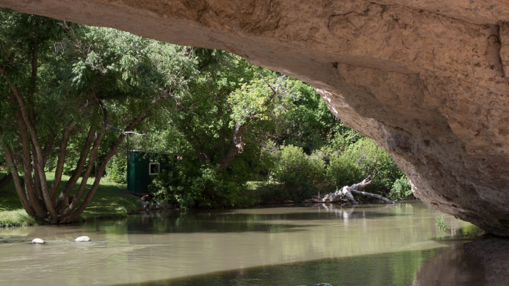
The Gros Ventre Slide
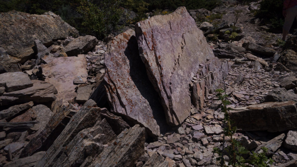
In 1925 a mountainside across the valley from the Grand Teton mountains broke loose and crashed into the valley below. Fifty million (!!) cubic yards of soil and rocks and trees slid into the valley, damming the river and sending a wave of dirt and rocks 300 feet up the opposite side of the canyon. We took a trail walk through the area and tried to imagine what that wall of destruction looked like.
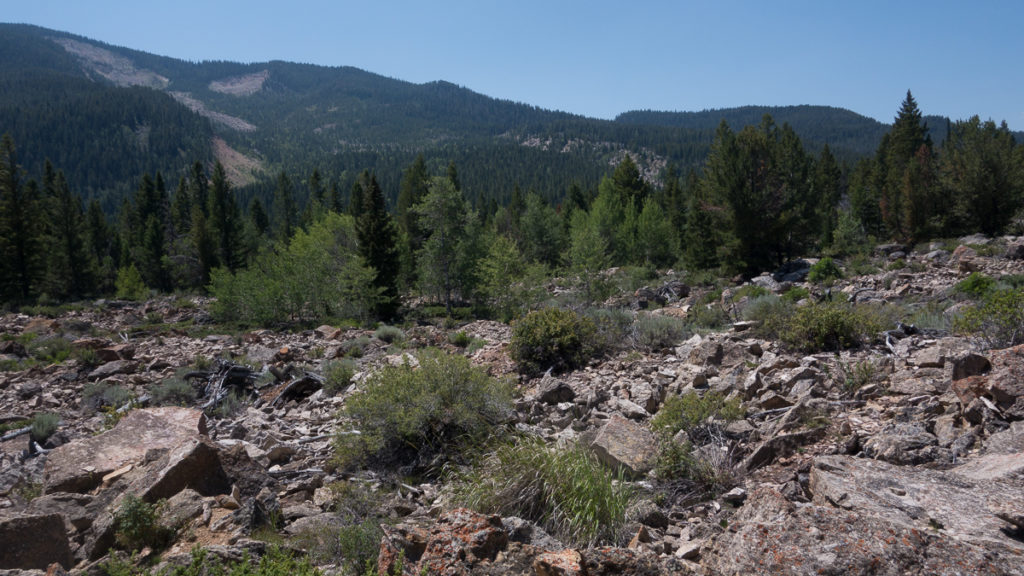
The bare spots on the mountain in the distance is where the Gros Ventre slide occurred. The rock in the foreground came from there, in a wall of dirt and rocks that washed to where we were standing, more than 300 ft above the valley floor.
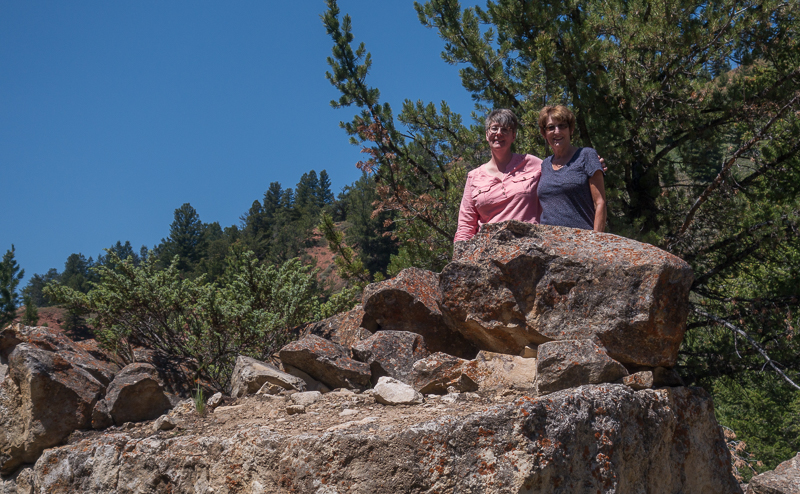
Shelley and Laurie enjoying a BIG rock that came from the mountainside about half a mile away.
Some More Jackson Hole Photos
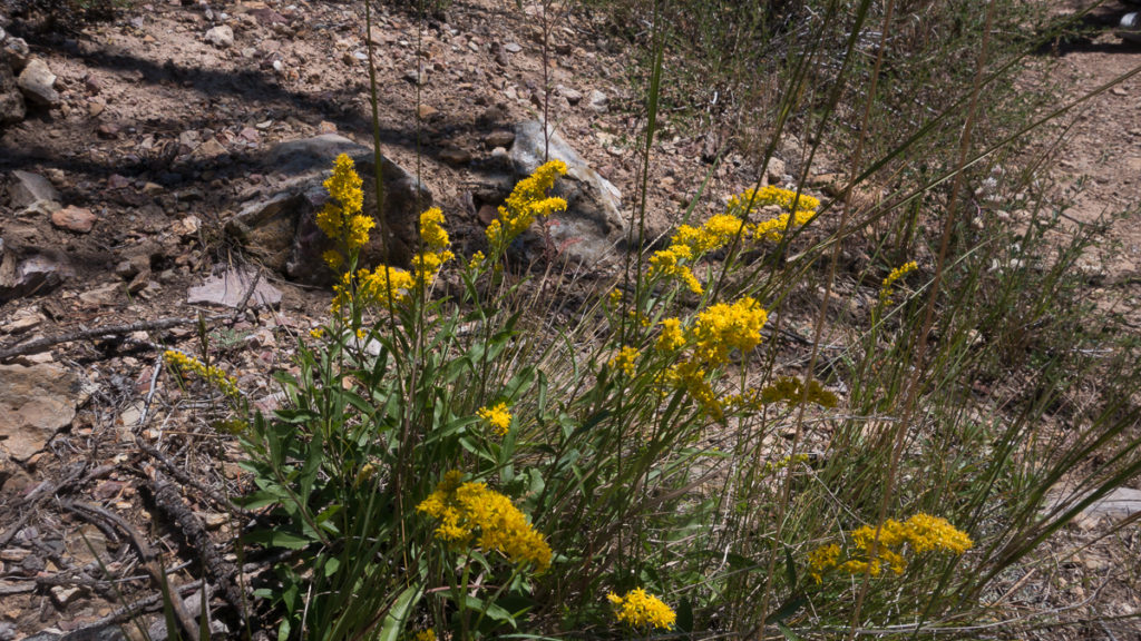
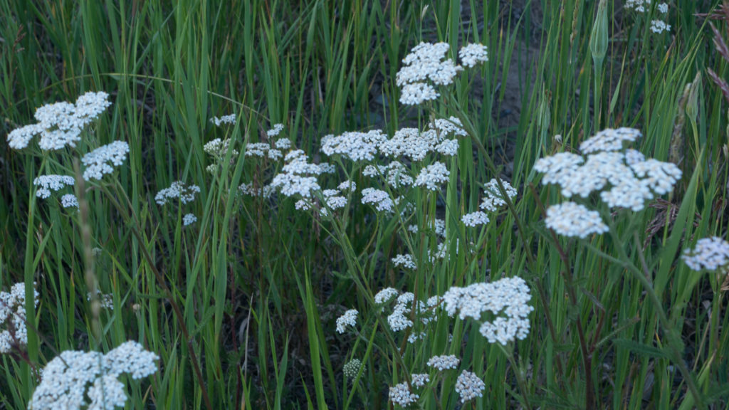
Lots of wildflowers!
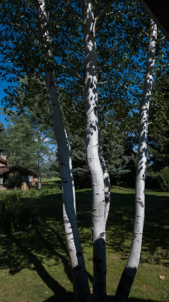
Aspen trees in Eric and Shelley’s back yard. We love these trees; at the slightest breeze, the leaves move a bit and the tree just shimmers.
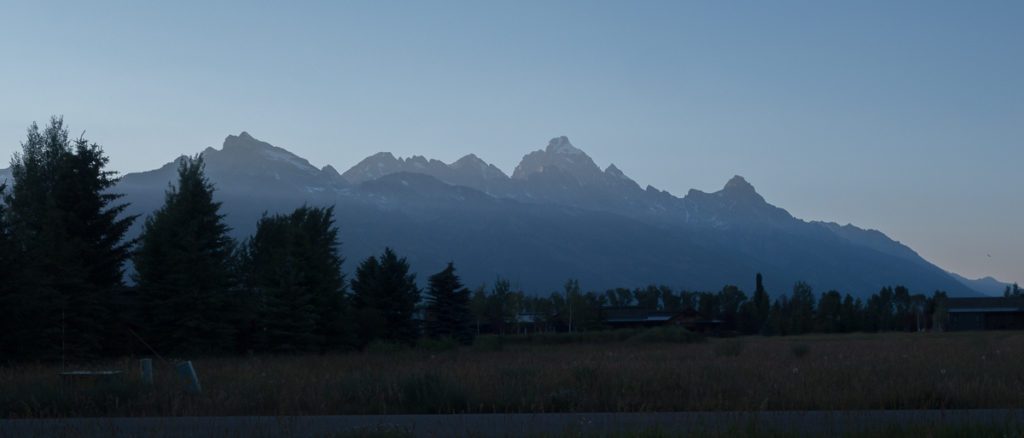
Grand Tetons just after sunset.
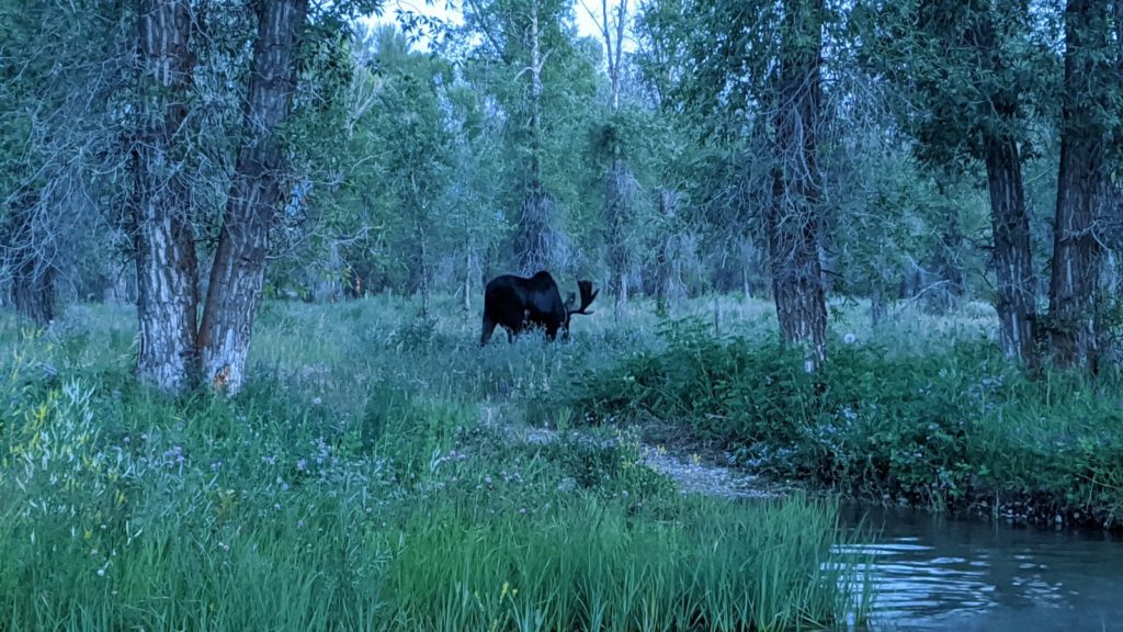
This is one large and impressive bull moose! Photo credit goes to Eric.
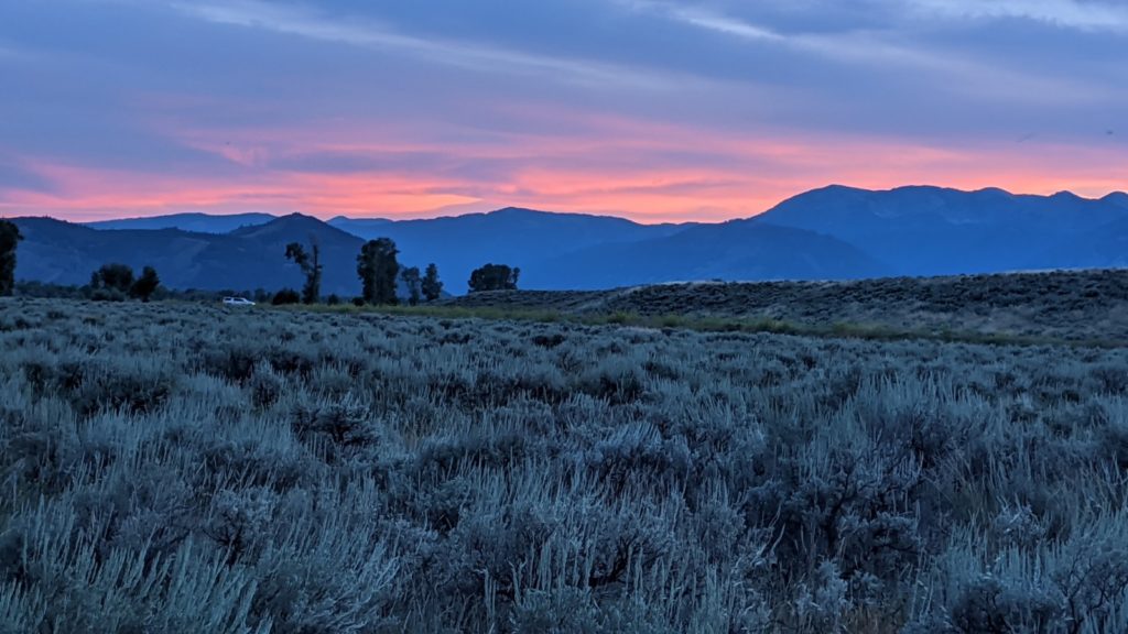
The Tetons at sunset – taken by our friend Shelley.
This is one absolutely beautiful area – often breathtaking. Always breathtaking. We’ll be back. We were, of course, spoiled by the wonderful hospitality of our hosts, Eric and Shelley. As an example of that hospitality, here’s a picture of one meal:
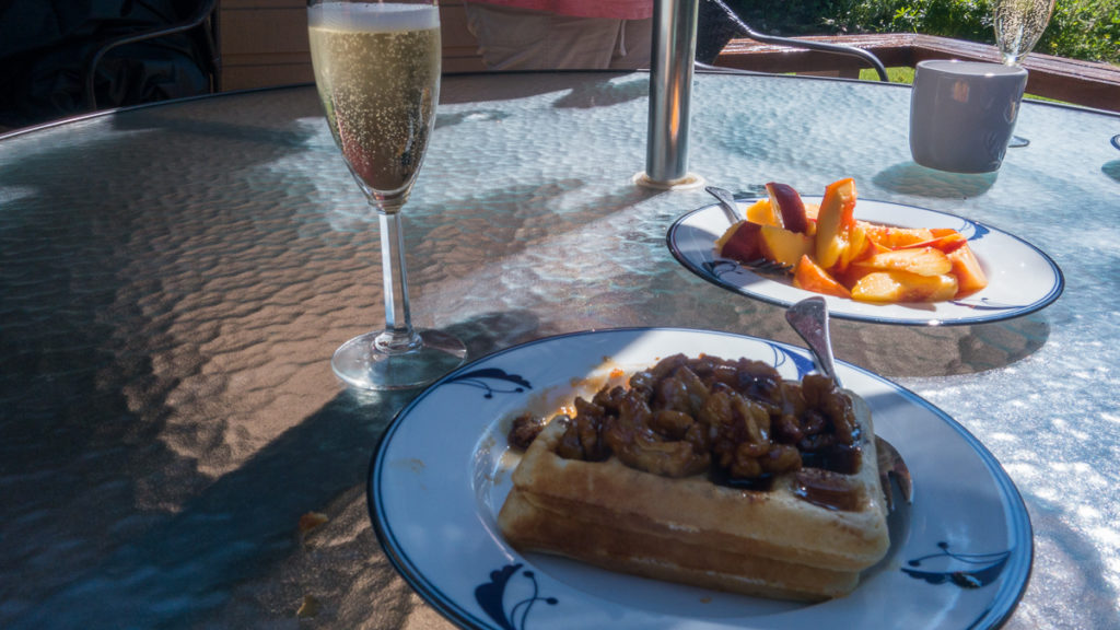
The question is, of course; did we have waffles for dinner or champagne for breakfast? You choose. I might point out that on the waffle is a roasted-walnut/bourbon syrup; we ate well.
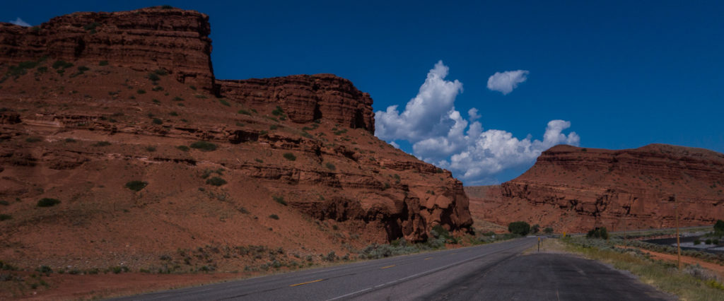
From Jackson Hole to Buffalo
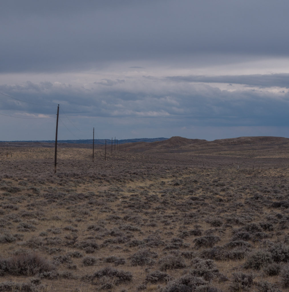
This is a drive from the northwestern corner of Wyoming to the center and then up to the northeastern part. You see a lot of sagebrush on this drive! But we also saw some pretty spectacular scenery.
On the Togwotee Pass (pronounced “to-ga-dee”):
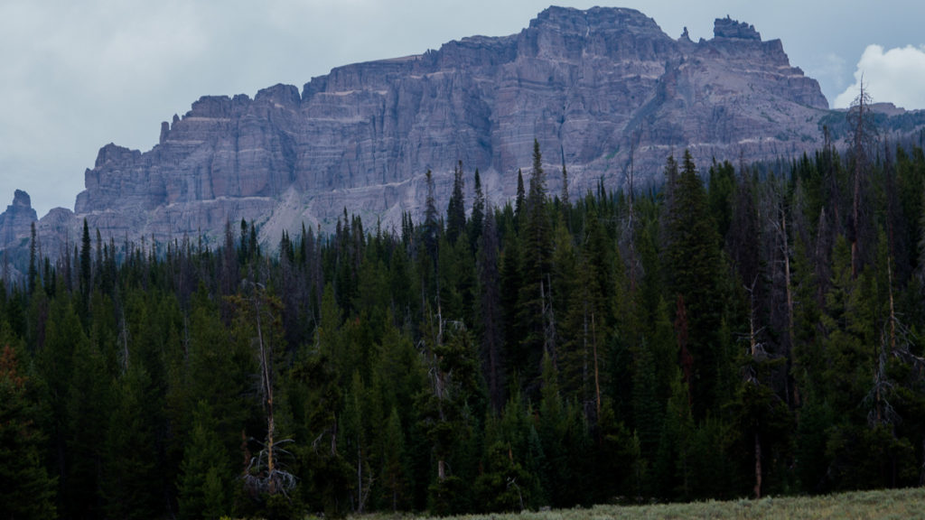
The pass tops out at 9,659 ft. The tops of this rock formation are about 11,500 ft. This is a high state!
 Some years ago, when I was doing consulting work in Wyoming, I passed this roadside sign. Wyoming has many markers showing the age of rocks seen from the road, but this one caught my eye. To my later regret, I didn’t stop and pick up a rock.
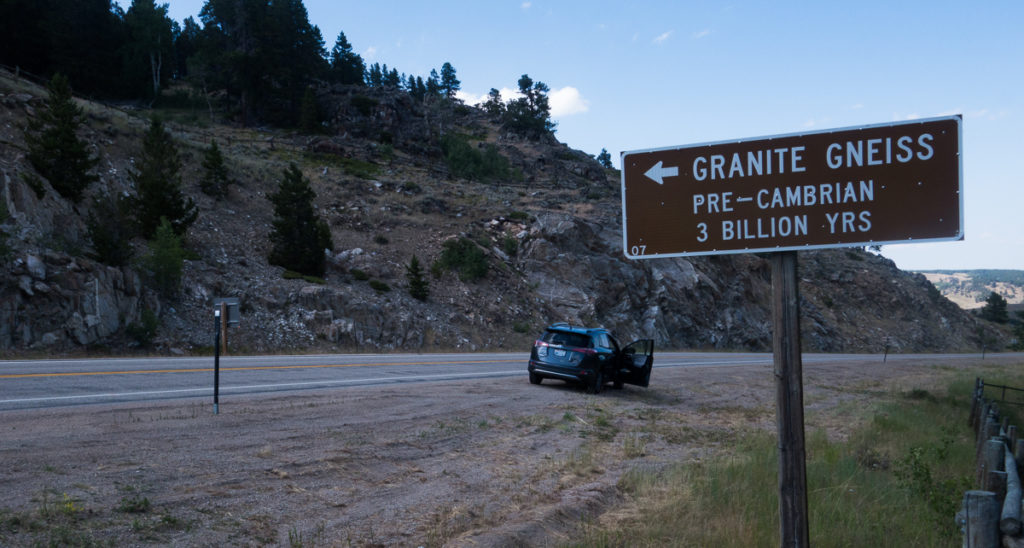
This is probably the oldest rock in the United States and, for some years, was in the running for the oldest in the world (no longer: a rock formation in Finland has been dated at 4.3 billion years old). Anyway, this time I stopped and now have a piece of granite gneiss three billion years old.
And here it is!
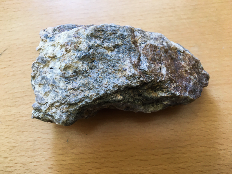
My 3 billion year old rock.
Oregon Trail Sightings
Laurie and I are “rut nuts;” that is, enthusiasts of the Oregon and California Trail. We know lots about it, and we have tried to find places where there are still visible traces of the trail. Since the trail went right through Wyoming, we knew we would be able to find some traces of it here.
Our first trail-seeking adventure on this ramble was a dirt road that goes southwest out of Casper. This road is there because the trail went through there 170 years ago, and was used by later inhabitants of the area. We drove for about three hours, saw exactly zero other vehicles or persons and looked for some trail tracks. At first I couldn’t find any visible traces, and wondered if it wasn’t actually in this area; it’s not as if there are road signs to it.
Wall of Rocks
This geological feature was a landmark on the Oregon/California Trail. I’d read that it was on this road but had forgotten until I saw the actual thing, at which point I practically shouted, “The Wall of Rocks! The wagons went right by here.” At least we knew we were on the right track.
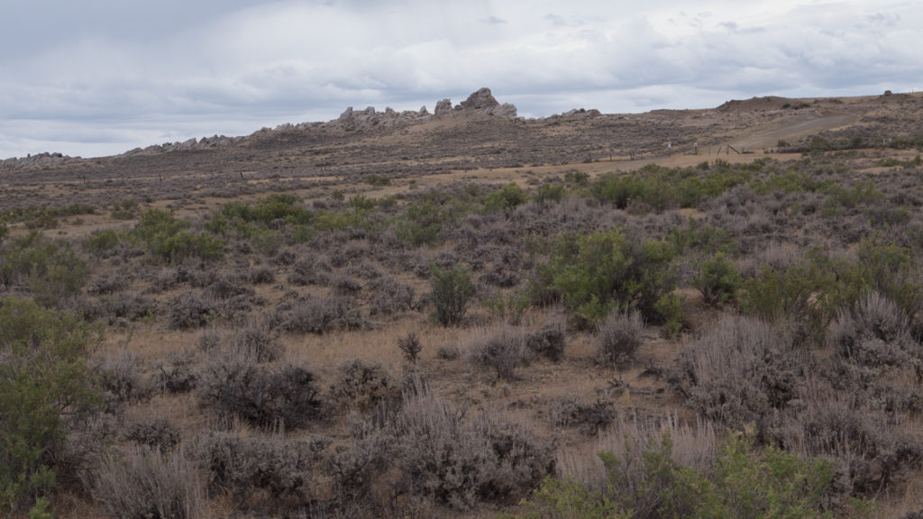
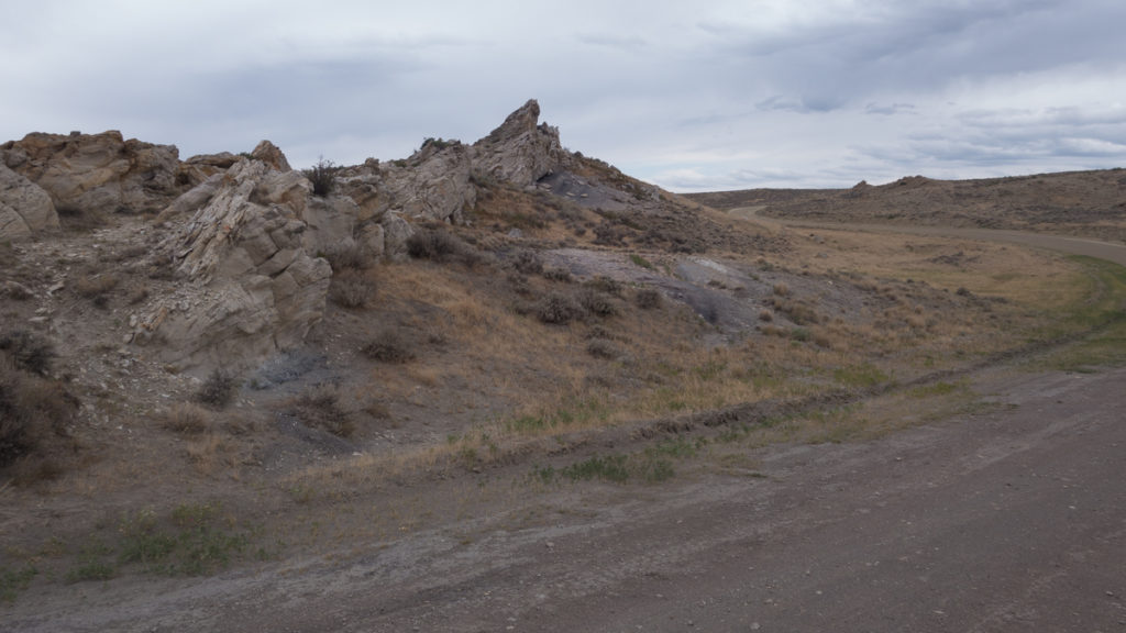
We stopped to walk around, because the emigrant wagon trains would have gone past the Wall of Rocks exactly where the road is. And there, we found a marker put up by the Oregon-California Trails Association (OCTA – we are OCTA members). The OCTA puts up markers where there are visible traces of the trail. As we slowly traveled farther on the dirt road, we found some 25-30 more OCTA markers and, sure enough, at each one, we could see some trace of the trail. Emigrants traveled this route from 1843 to the late 1850s, so these traces are at least 160 years old!
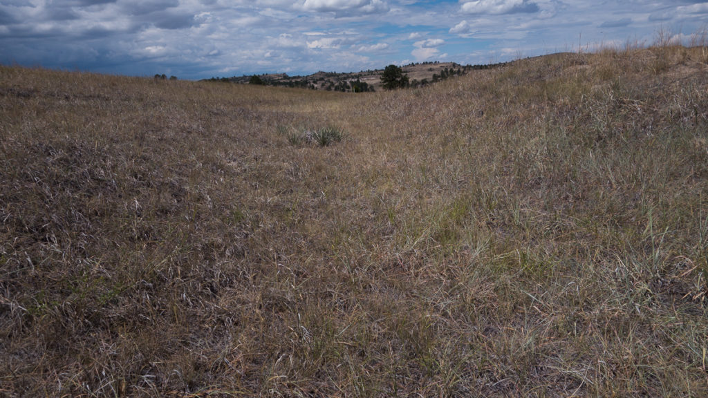
Unfortunately, what the eye can see often does not show up well in photographs. In the picture below is a line where the ground-covering is lighter – this is the path of wagons through this area. In the foreground we could see a “swale,” a depression in the ground where the wagons traveled – this isn’t visible in the photo. Rarely do you see actual ruts, because the wagons did not follow each other exactly; they would spread out some, forming that depression.
I realize that a common reaction to my Oregon Trail ramblings is “meh,” but we find it fascinating to see these traces of the trail. Think about selling much of what you own, packing the rest into a small wagon and setting off on a 2,500 mile, five-six month journey through inhospitable territory to a place about which you know nothing, hoping for the best. That’s courageous!
The Guernsey Ruts
The Guernsey ruts are touted as the best and clearest ruts to be seen on the Oregon Trail. Here there is a path where the ruts are four feet deep! But as the Orange One would say, that’s kind of Fake News. The wagons did pass through here, but those deep ruts were created later by commercial wagons carrying limestone. However, walking a ways off the main ruts, you come across this:
Here you can clearly see the swale – the depression in the ground – created by the thousands of wagons that passed this way.
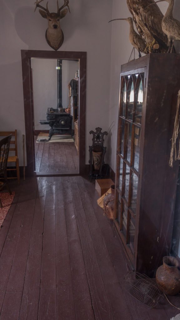
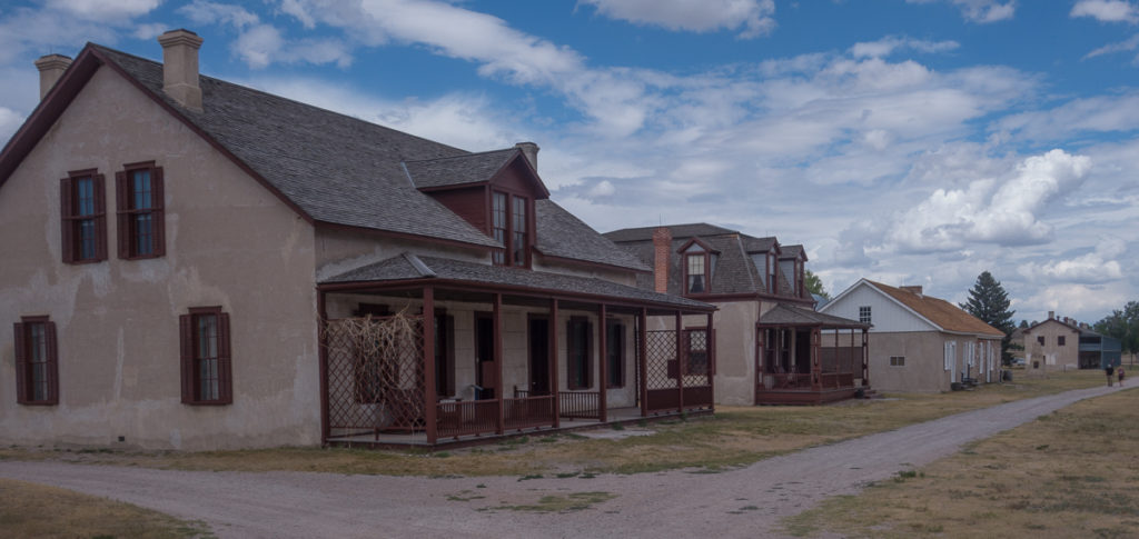
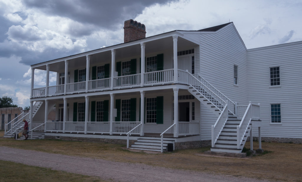
Fort Laramie
Fort Laramie, near the eastern border of Wyoming, was a big deal for the emigrants: the first civilization they would see after leaving their “jump-off spot,” (usually in Missouri). They would reach the fort after almost a month of traveling. The fort was established in the 1830s as a supply post for overland travelers (the Oregon/California migrations started in earnest in the early-1840s, but there was some travel starting the the early 1830s) and converted to an Army post in 1849.
After decommissioning in 1890, the fort fell into disrepair. Many of the buildings and furniture were sold at auction to residents of the area. In 1938, the fort became part of the National Park Service and began a long and slow restoration. Today about a dozen buildings have been restored inside and out. The buildings are furnished and look as if the occupants just got up and went out for a walk.
I asked a ranger where the park service had gotten all the furniture and clothes and fittings that reflect when the fort was active. He said that many pieces of furniture were returned to the fort by the descendants of families who had obtained them in that “going out of business” auction in 1890; many of the chairs and tables and beds and bookcases and so forth were actually used when Ft. Laramie was an active army fort.

The Mess Hall at Fort Laramie. Some of what you see are reproductions, but much of it was actually used when the fort was active.
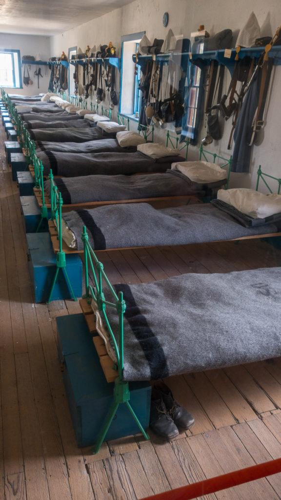
I love this room – the barracks of the enlisted cavalry troops. The park ranger told me much of this is reproduction, but it’s still impressive.
The surgeon’s quarters. Here almost everything was actually at the fort when it was active.
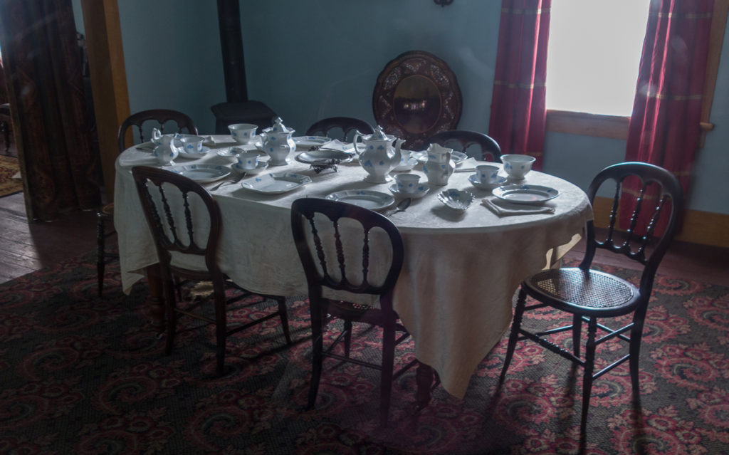
The commanding officer’s quarters.
This is the third time I’ve visited Fort Laramie, the first time for Laurie. Even though it was hot-hot-hot here, we very much enjoyed seeing it and will almost certainly return to it.
Casper
We stayed one night in Casper, the second largest city in Wyoming. Honestly, that’s not saying much: Casper’s population is about 57,000 folks, while Cheyenne – number 1 in Wyoming – is about 64,000. These two cities account for 21% of Wyoming’s population. But size is in the eye of the beholder: when I worked in Wyoming I asked a woman who had just moved to Cheyenne from Lander (pop: 7,500) how she liked Cheyenne. She responded, “Oh, I love it! I’ve never lived in a big city before.”
The adventure in Casper was the drive on a dirt road that covered the Oregon trail (see above). Casper is a nice city, but we just kind of hung out after that drive, and left the next morning.
From Casper to Cheyenne
From Casper we went to Cheyenne, in the southeastern corner of Wyoming. Cheyenne is about a three hour drive from Casper, but we took one really nice detour. As we were headed down the freeway (at 80 mph and being passed constantly), we saw a sign for a road to a natural arch. Well, we’d never seen such a thing and we were on no schedule, so off we went. We found a beautiful county park with, indeed, a natural arch across LePrele river.
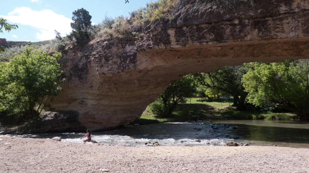
When we get back next to Wyoming, we’re getting up a picnic lunch and coming to this park – Ayres Natural Arch Bridge Park – and spending some time here. It was an oasis of calm and beauty.
We also stopped at the Guernsey Ruts and Fort Laramie on this leg.
Cheyenne
When I was doing consulting work here in the mid-2000s, I came to Cheyenne for three days almost every week for two years, so I know Cheyenne. I also know that Cheyenne is not a tourist draw; honestly, there isn’t much to bring tourists here. But I like Cheyenne a lot, maybe because of that lack of touristy things to do.
One thing Cheyenne has, like the rest of Wyoming, is great steaks. The first night we ate at my favorite Cheyenne restaurant, the Albany. I don’t know how to describe the Albany, other than to say I’m not sure it’s changed much since it opened in 1942. It’s small – you might be able to squeeze 80 people in there, and in these times, the limit was closer to 40 folks. (As a side note, we found that Wyoming was pretty conscientious about following coronavirus guidelines: we saw few un-masked folks, and restaurants and stores were observing distancing guidelines, throughout the state. Our one stop in Montana was different: nobody was masked or distancing, even in restaurants.)
Here’s what we had: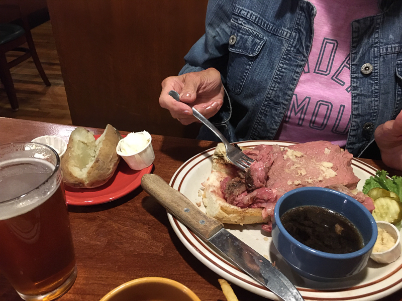
That’s about 12-14 ounces of really good prime rib, done perfectly, with a baked potato. Price: $14.99. $14.99! That’s gotta be a $30 slab of meat in Seattle. We went back to the Albany the next night for the same meal.
For breakfast, we had to go to the Luxury Diner. Unless a person knew something about the Luxury, he or she would drive right on past, never thinking about actually eating there. Mistake! The Luxury is an institution for a reason.
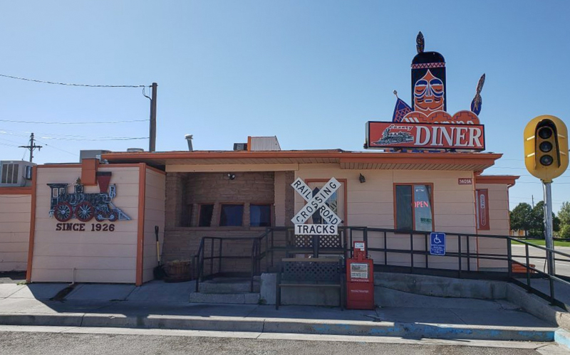
I apologize that I didn’t take any food pictures here, but I can tell you:
-
- Laurie’s 2x2x2 breakfast (two pancakes, two eggs and two sausage patties) was $10;
- The next day, Laurie’s Senior Special (three pancakes, an egg and sausage) was $5;
- My hashbrowns, toast, and corned beef hash was $10;
- All of it was excellent. Honestly, we believe the pancakes were the best we’ve ever had. They were fabulous.
I used to have lunch here, too, and the lunches were top-notch. Love this place.
The Ames Monument
A friend asked me if we were going to see the Ames Monument, outside Cheyenne (trying, I think, to come up with something so oddball that I’d have to admit that, no, we weren’t going to see that). I surprised him by saying that I’d already seen it and of course we’d go there. And we did.
This was part of some off-the-main-roads traveling we did outside Cheyenne. After driving on a dirt road for an hour or so, we came to the Ames Monument which, fortunately, is about ten minutes from the freeway so we didn’t have to drive back on that dirt road. Who were the Ames brothers and why is there a monument to them here?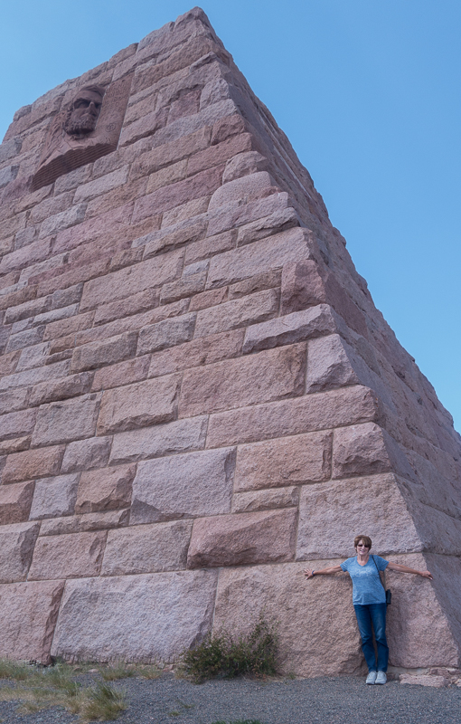
Oakes Ames and Oliver Ames were instrumental in financing the Union Pacific railroad, the eastern part of the first transcontinental railroad. When other financing failed, they took over and got Congress to provide financing, taking for themselves a rather comfortable chunk for their efforts, of course. It turned out later that their efforts to “persuade” members of Congress to approve the financing was often accompanied by some payments made under the table to those Congressmen.
In the 1870s the Union Pacific, trying to rehabilitate the Ames Brothers’ reputation (and the company’s at the same time) built the Ames Monument. At the time it was at the highest point on the transatlantic railroad, and trains actually stopped to let passengers see the monument. A later change to the railroad’s route now means the monument is out in the middle of nowhere. We’d never make a special trip to see it – and would not recommend doing so to any traveller – but as part of a day-trip, it was fun to see.
A Trip Highlight: Re-connecting with Friends
When I worked in Wyoming, a colleague told me she wanted to introduce me to Steve L., saying she thought we’d become friends. We did! Steve and I met for lunch or coffee often, and I got to know his wife, Carol, and kids, too. But it had been some time since we’d connected and so I emailed him that we’d be in Cheyenne for a few days. The result: we got together with Steve and Carol and their younger daughter for an evening and had just the best time. It was as if no time had passed, except time had passed and there was lots to catch up on. We talked for four hours and could have continued longer. That evening was a highlight of our Wyoming ramble; so nice to re-connect with friends.
Heading Home
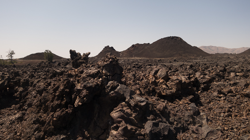
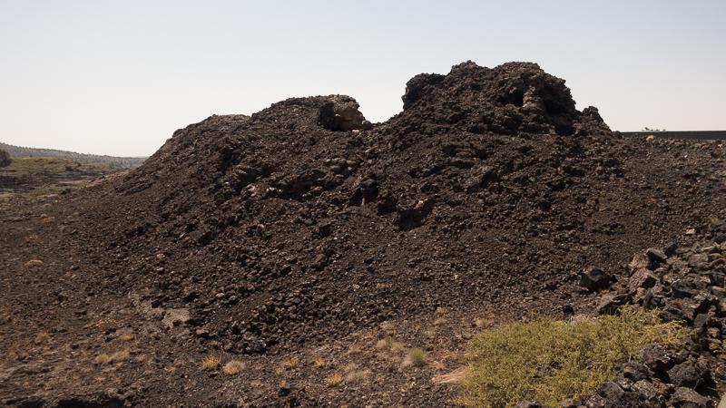
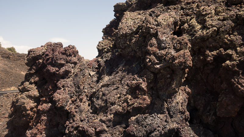
After Cheyenne we went back to Jackson Hole to spend another couple days with Shelley and Eric, then home to Seattle. On the way we stopped at one interesting place: Craters of the Moon in central Idaho.
Central Idaho doesn’t have much in the way of scenery, but Craters of the Moon is amazing. Somewhere around 12,000 years ago, lava started to flow in this area, covering over 600 square miles. The formations are nothing short of amazing.
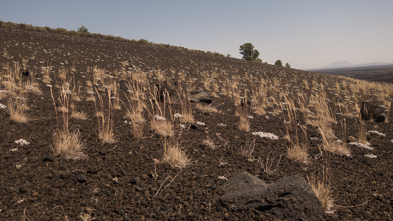
When I first looked at a hill made of volcanic ash, I couldn’t figure out what the white spots were. A closer examination revealed them to be lichen of some sort. Both the lichen and the plants in this picture are growing on a surface with absolutely zero nutritional value. How do they do that?
After Craters of the Moon, it was back to Seattle for us (with an overnight in Ontario, Oregon). Our 13-day Wyopalooza Ramble was done. We had a great time! We think Wyoming may be the most under-rated state in the country. Yes, it has miles and miles of nothing but miles and miles (with sagebrush), but it also has some just spectacular scenery, and some interesting history, especially for us Oregon Trail buffs. We’re looking forward to getting back to the Cowboy State.